|
Overview - Page 1 of 2 |
ID# C3OV001 |
Overview
 Printable
Overview, Introduction, and Getting Started
Printable
Overview, Introduction, and Getting Started
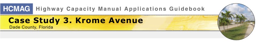
Krome Avenue is a 33-mile north-south route that bypasses Miami, Florida on
the west side. It is essentially a rural route that has very little roadside
development. Florida’s Turnpike is about 5 miles to the east, providing
several east-west connections to Krome Avenue. Its two-lane configuration
has limited capacity compared to other facilities such as freeways and
multilane roadways. Most of the route now operates well within its capacity,
except that some congestion has been observed at critical locations. This is
a region of high population growth that is expected to generate continually
increasing traffic volumes. Prompted primarily by safety considerations, the
posted speeds have already been reduced below the 55 mph level typically
found on open highways.
In this case study, we will go through the process of identifying the goals,
objectives and analysis tools for an investigation of the existing level of
service on the entire route. We will then apply the analysis tools to assess
the current performance of this route and to identify areas that are
deficient. Finally, applying the same analysis tools, we will investigate some
alternatives for correcting the deficiencies.
The main purpose of the case study is to illustrate the concepts and
practice of applying the analysis tools in general, and the
Highway Capacity
Manual (HCM) in particular. Much of the discussion will be based on a
recently completed study of Krome Avenue that had similar goals and
objectives. Several problems will be presented to illustrate the application
of the tools and the interpretation of the results.
[ Back ] to
HCMAG Home [ Continue
] with Overview